originally published March 8, 2012
Somewhere in the northern corner of New Zealand, things are a little screwy.
I was set to dismiss this topic right away: geography stubs are generally as thrilling and inspirational as stubs about professional soccer players (and believe me, any human who has ever been paid so much as a promissory note for a nickel to kick a soccer ball has their own Wikipedia page about it). But then the name kind of stared out at me.
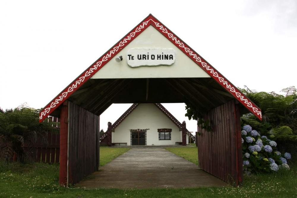
Pukepoto.
The native New Zealandites named it Poo-kuh-pot-o, probably for some legitimate and interesting meaning (which didn’t make the cut in this Wiki-article), but now it just looks like ‘Pukepot’ with an ‘o’ at the end.

There is almost nothing to say about Pukepoto. They have accomplished having a school, so that’s something. Their school has a decile rating of two. The decile system is how the Kiwis (is that offensive? If so, let’s pretend some Australian guy made me write it) measure which schools need the most funding. A rating of two (the scale is one to ten) means that the Pukepoto school is heinously destitute. Probably has something to do with their mascot.
The article is telling me (with its lack of telling me anything else) to move onward. The Herekino Forest lies to the south-east, so let’s go exploring.
Herekino, the locality, has a bustling population of 1947 people, and a thriving industry consisting of scantly surviving.
The area was named when a Maori chief was wandering through, and noticed a lasso-style bird trap that was incorrectly tied. The knot that was used would cause undue suffering on the bird, rather than kill it quickly. He named the area Herekino-a-Taunaha, which means “the false knot of Taunaha.” So this area is named after a mistake. Specifically, a mistake that would cause unnecessary torture.
On days here in Edmonton when the temperature scrapes the underside of thirty below zero, I have to wonder about a similar etymology.
On to Kaitaia, almost at the northernmost tip of the island nation. While there are a few miniscule map-specks above it, Kaitaia is considered to be the northernmost major settlement, which makes it the warmest place in New Zealand. The name Kaitaia means “plenty of food”, so that’s a touch more optimistic than “rope screw-up”.
They built a huge observatory on the hill beside Kaitaia back in the 80s, but apparently it was shut down due to something called “Rogernomics”.
This was New Zealand’s attempt to establish a portmanteau as catchy as “Reaganomics”, and is attributed to the economic policies of financial minister Roger Douglas. The policies were, like Reagan’s, right-wing: deregulation, tight spending, and market-driven restructuring. Part of this meant that observatories were an unnecessary expense.

But I’m not here to rant about New Zealand politics. At least not today, it’s entirely possible that this will be exactly why I’m here tomorrow. Let’s trek back to Kaitaia. According to the Wikipedia, and I swear I’m not making this up, the largest agricultural commodities in the region are avocados, wine, and illegal marijuana. It’s worth pointing out once again that “Kaitaia” means “plenty of food”. So that helps to support the local weed trade, I suppose.
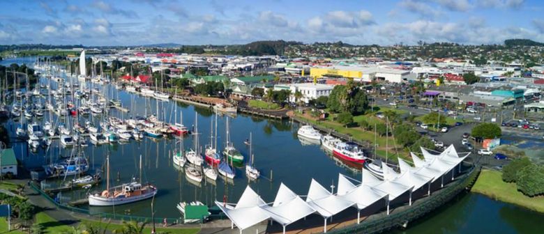
Let’s hop on an oxcart (or whatever they drive in New Zealand) and journey southeast to Whangarei, the northernmost actual city in the nation. There are over 52,000 folks who call Whangarei home, so we’re really back in the thick of civilization now.
I could prattle off some information about Whangarei schools, about Captain James Cook landing there in 1769, or the fact that we have Whangarei to blame for Keith Urban existing, but I’m more interested by the out-of-place sentence just below the climate chart:
“Whangarei is roughly the antipodal point of Tangier, Morocco.”
I suppose this means that there isn’t enough to write about the city, so they felt the need to include a mention of what is exactly on the other side of the world from it. But this nudged my interest with a chopstick of curiosity. Could there be a website with which I could calculate the antipodal point of any place on the globe? Oh look, there is.
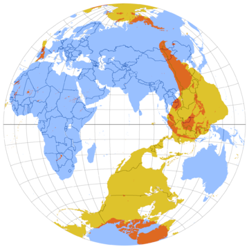
I’ll save my local readers the trip: Edmonton is opposite a spot so deeply awash in the middle of the ocean, it’s hard to tell if it’s closer to Madagascar, Australia, or Antarctica. Actually, almost all of Canada and the US is opposite the ocean, so be wary, tunnel-diggers.
In fact, the only piece of land that finds itself exactly opposite any part of North America is Antarctica. What happened to that old fable that you’d dig straight through to China if you tunneled through the earth? Well, given that China is located entirely north of the Equator, we should have probably figured out that the fable was bullshit. If you happen to live in Chile though, and you have the technology to conquer the Mole-People who will block your path, you might be in luck.
Like any city, Whangarei has a few suburbs scattered about its fringes. The only seaside suburb is a little place called Onerahi. It’s a place worth noting, because the land for the town was purchased by Henry Walton and a guy named (I swear) William Smellie Graham. It was then called Kaiwaka Point, but they renamed it Grahamtown, though honestly Smellietown would have been a much more literary choice.
I cycled through the other dozen or so suburbs of Whangarei and found nothing worth reporting, so it’s off to Kerikeri, the last stop on our tour. Kerikeri is important because this is where Jesus first stepped onto New Zealand, in the form of missionaries who aimed at ‘civilizing’ the local Maori tribespeople. The town is relatively close to Rainbow Falls, and boasts the oldest wooden structure still standing in New Zealand. This makes me wonder if there’s a heap of older wooden structures around the country which have collapsed, but are still preserved as tourist attractions.
Thus ends our journey around the northern (and delightfully winterless) region of New Zealand, the Land Down Under & Over To The Right A Little. Truth is, I was already sold on travelling there when I only knew about Pukepoto.
